| Satellite | Pass Start | Pass End | Max Elevation | Azimuth | Direction |
|---|---|---|---|---|---|
| 12/18/2025 | |||||
| METEOR-M 2 | 05:19:50 | 05:34:44 | 46° W | 6° | Southbound |
| METEOR-M 2 | 16:41:14 | 16:55:58 | 31° W | 191° | Northbound |
| 12/19/2025 | |||||
| METEOR-M 2 | 04:59:07 | 05:14:27 | 71° W | 10° | Southbound |
| METEOR-M 2 | 16:20:15 | 16:35:30 | 50° W | 180° | Northbound |
| 12/20/2025 | |||||
| METEOR-M 2 | 04:38:29 | 04:53:52 | 73° E | 15° | Southbound |
| METEOR-M 2 | 15:59:30 | 16:14:57 | 78° W | 169° | Northbound |
| 12/21/2025 | |||||
| METEOR-M 2 | 04:17:58 | 04:33:06 | 47° E | 19° | Southbound |
| METEOR-M 2 | 15:38:58 | 15:54:20 | 68° E | 158° | Northbound |
| 12/22/2025 | |||||
| METEOR-M 2 | 05:37:40 | 05:52:08 | 31° W | 2° | Southbound |
| METEOR-M 2 | 15:18:37 | 15:33:42 | 44° E | 147° | Northbound |
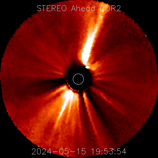
Coronal Mass Ejection Activity